-
Perspective: Surveying Land
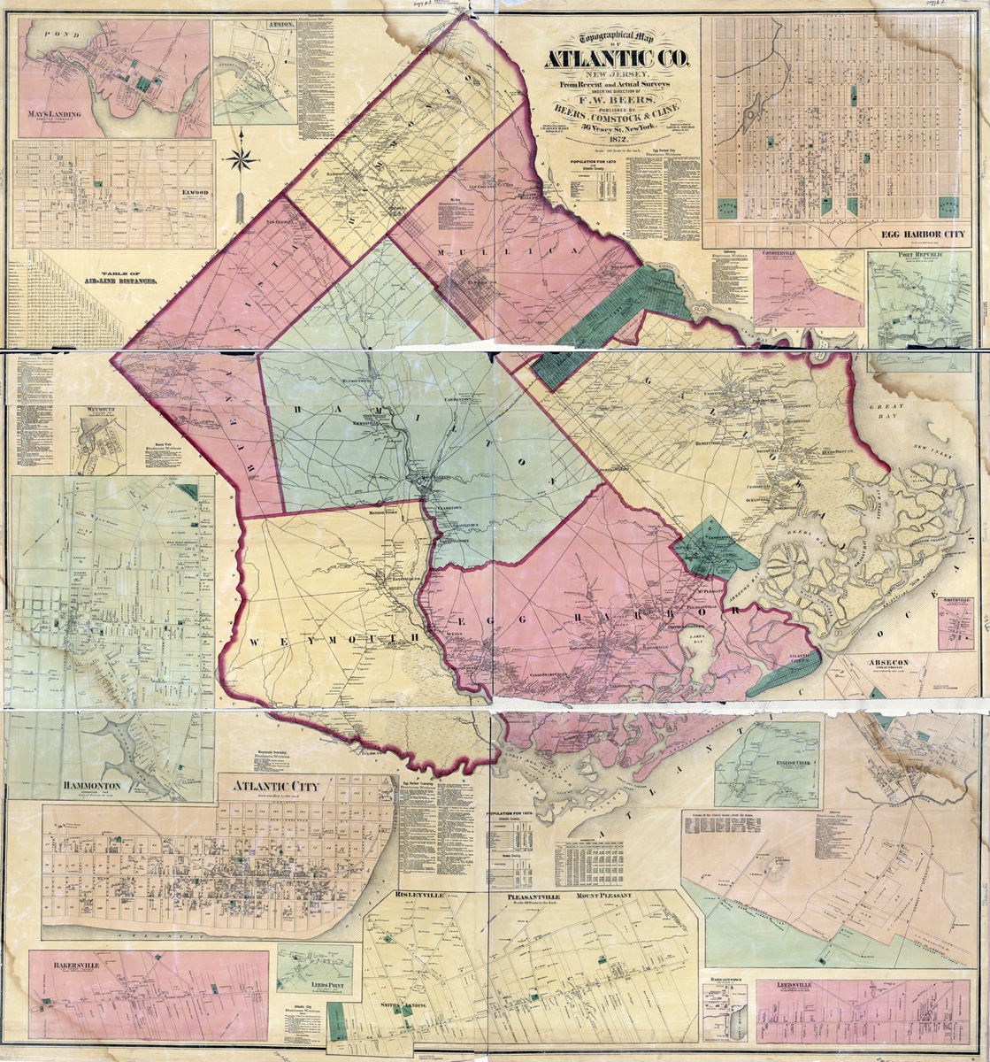
F. W. Beers. “Topographical Map of Atlantic Co., New Jersey, from Recent and Actual Surveys under the Direction of F.W. Beers” (New York: Beers, Comstock & Cline, 1872) [Library of Congress]. Wall map, with added color, 171 × 161 cm. Scale: 200 rods to 1 inch.

-
New Jersey Counties: First Wall Maps and Atlases (1849–1882)
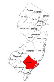
- Atlantic County
- Bergen County
- Burlington County
- Camden County
- Cape May County
- Cumberland County
- Essex County
- Gloucester County
- Hudson County
- Hunterdon County
- Mercer County
- Middlesex County
- Monmouth County
- Morris County
- Ocean County
- Passaic County
- Salem County
- Somerset County
- Sussex County
- Union County
- Warren County
-
New Jersey Coast: First Atlas (1878)
Historic Maps Collection
Department of Rare Books and Special Collections
Princeton University Library
© 2014 Princeton University Library
-
Conclusion
- Sources Consulted
delaney@princeton.edu
