“Aris, Orange River”
. . . [A]nd then three hours through heavy sand, brought us to Aris, a Namaqua village of about twenty huts, where we first saw the great Orange River. The Gariep, or Orange River, is the most important natural object on the map of South Africa. Traversing the great continent from east to west . . . its waters roll from a lofty mountain range to the ocean, over a distance of upwards of a thousand miles. . . . It is difficult to speak of the Gariep otherwise than in the most enthusiastic terms. Besides its beautiful African features, its utility is very great. To the wandering tribes dwelling near it affords an unfailing refuge in seasons of drought and famine. . . . That there will be white men sojourning on the banks of the Orange river at no distant day, I have little doubt; for I found, at convenient distances from the river, great stores of valuable iron and copper ores, for which there is always a great and increasing demand in Europe. [Vol. 1, pp. 105-8]

“Damara Warrior”
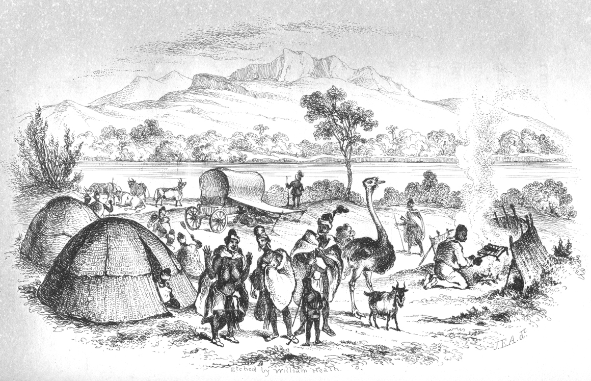
These Hill Damaras were about five feet seven inches in height. . . . They came with long staves in their hands, and without arms, in token of friendship and confidence, though perhaps their weapons were not far off. Their hair was peculiar; that is, it was cut off quite round the head, and an inch above the ear, leaving only the hair on the top of the head—in the manner of the Roundheads of the Cromwellian period. They wore short karosses of deer skin, and softened flaps of skin before and behind, to cover their nakedness; and in the hind flap, which was longer than the fore one, there was a pocket for holding roots, &c. They wore soles or sandals. [Vol. 2, p. 132]

“Bull’s Mouth Pass”
. . . [O]n looking to the right we saw the cause of this [broad bare patches of ground], for a red cloud, as of sand rising and falling, again indicated a thick flight of destroying locusts. On the left of the plain was a broad and winding belt of high trees and bushes, indicating the course of a river, the Chuntop (or that which in running is suddenly checked): this entered a craggy opening in a flat range of mountains stretching across the plain to the north. The notch in the range where the wooded Chuntop disappeared, was the anxiously looked for Kopumnaas, or Bull’s Mouth Pass—so named from its being full of dangers, like the Valley of the Shadow of Death. . . . We approached these dangerous animals with some caution. . . . [U]nless they are taken standing, with deliberate aim at the backbone, or behind the jaw, good balls are thrown away upon them. . . . So our two first rhinoceroses, being continually on the move, escaped from us though we tickled them roughly. I now mounted my grey to look out for a good outspan place, whilst the locust-cloud passed over me, and the insects fell about me like thick and dry leaves in October. [Vol. 1, pp. 297, 299-300]

“Expedition in Distress”
The prospect before us was now a most unpleasant one, we were at the last watering place for nearly sixty miles; the horses and oxen were thin and weak with their long previous journey, the weather was very hot, and a desert of heavy sand lay between us and the Kuisip river, and whether there was any water in it or not at the point where we should first see it, we were not aware. Still we could not stop where we were, or go back; we must make a desperate effort to reach the Kuisip or perish in the attempt. [Vol. 2, pp. 29-30]