Plate 20
Rumold Mercator, Flemish, c. 1545–1599
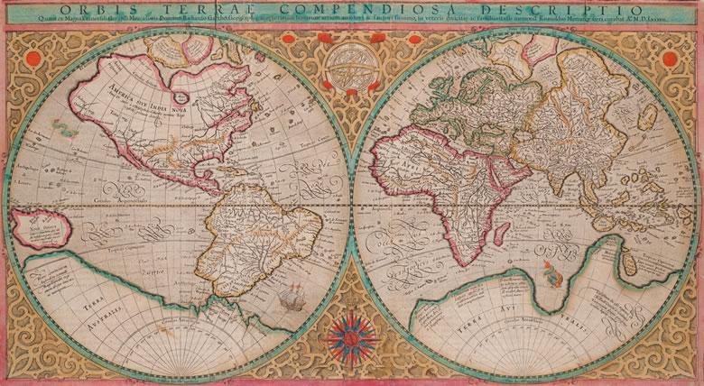
Orbis terrae compendiosa descriptio (1569)
11-7⁄16 x 20½ in. (29 x 52 cm)
Geneva, 1587
Detail, p. 2
The original version of this map was produced in 1569 by Gerard Mercator, perhaps the greatest of the early cartographers. This is a condensation. intended for navigation at sea. It was drawn on what has become known as Mercator’s projection, which is still in use.