Nova Cæsarea: A Cartographic Record of the Garden State, 1666-1888
Historical Background Maps
Road Maps
For New Jersey, situated between two of the nation's most important commercial centers, Philadelphia and New York, roads were essential to its development, even after canals and railroads provided alternative modes for transporting goods. The early precursors of today's in-car GPS systems—or the ubiquitous oil company road maps of the twentieth century—were simple manuscript maps created by colonial surveyors, which were copied but rarely printed.
![1762: John Dalley. "A Map of the Road from Trenton to Amboy Copied (from a Survey Made by John Dalley for James Alexander Esquire) by G. Bancker" [Manuscripts Division]. Manuscript map, pen-and-ink on paper, with some wash color, 35 × 94 cm. Scale: 1 mile = 80 chains = 1 inch.](https://libimages.princeton.edu/loris2/exhibits%2Fnj-historic-maps%2Fbackground%2F1762-road-map.jp2/full/!750,750/0/default.jpg)
A major road in eighteenth-century New Jersey, running northeast from Trenton on the Delaware River to Perth Amboy on Amboy Bay, today's Raritan Bay. The names of prominent landowners, mills, and taverns are given, as well as a table showing distances between the communities encountered along the way. Also, the major streams, brooks, and rivers are noted and related ferries indicated. Dalley, a Kingston surveyor, had hoped to solicit a sufficient number of subscribers to defray printing costs for an engraved version, but he was unable to sell his idea. Fortunately, several manuscript copies survive.
One can follow the itinerary today by taking Route 206 from Trenton to Princeton, Route 27 from Princeton through New Brunswick to Woodbridge Avenue (County Road 514), then Amboy Avenue (County Road 616) into Perth Amboy.
◊ ◊ ◊
![1766: Azariah Dunham (1718–1790). "A Map of the Division Line between the Counties of Middlesex & Somerset Protracted by a Scale of Twenty Chains to an Inch ... by Azariah Dunham" [Manuscripts Division]. Manuscript map, pen-and-ink on paper, with some wash color, 30.5 × 183.4 cm. Scale: 20 chains to 1 inch.](https://libimages.princeton.edu/loris2/exhibits%2Fnj-historic-maps%2Fbackground%2F1766-road-map1.jp2/full/!375,375/0/default.jpg)
![1766: Azariah Dunham (1718–1790). "A Map of the Division Line between the Counties of Middlesex & Somerset Protracted by a Scale of Twenty Chains to an Inch ... by Azariah Dunham" [Manuscripts Division]. Manuscript map, pen-and-ink on paper, with some wash color, 30.5 × 183.4 cm. Scale: 20 chains to 1 inch. [Mark: in 2 pieces]](https://libimages.princeton.edu/loris2/exhibits%2Fnj-historic-maps%2Fbackground%2F1766-road-map2.jp2/full/!375,375/0/default.jpg)
In 1765, Azariah Dunham was appointed surveyor of the line between the two counties, which essentially followed an old Indian path. Much of it is similar to Dalley's map, but the scale is much greater. (Several trees—"Apple Tree," "Hickory Tree"—are noted.) The petition requesting the survey stated that the line of the old road was unreliable due to people altering it.
Dunham later became a member of the Middlesex Committee of Observation, a patriots' group active in the Revolutionary War. The importance and utility of the road would soon become apparent:
At 2 o'clock on the morning of April 24, 1775, an express rider brought to New Brunswick an account of the events which had taken place at Lexington and Concord on the 19th. Azariah Dunham was one of the three Committee members who received the news and forwarded it to Princeton. Their express rider, proceeding along the road shown on Dunham's own map, reached Princeton at 6 o'clock. By 9 o'clock the Princeton rider in turn brought the news to Trenton, where another Committee relayed it to Philadelphia.1
◊ ◊ ◊
![1781: Louis-Alexandre Berthier (1753–1815). "de Buillon's tavern à Summerset court house" [Manuscripts Division]. Manuscript map, with added color, sheet 22.5 × 29 cm.](https://libimages.princeton.edu/loris2/exhibits%2Fnj-historic-maps%2Fbackground%2F1781-berthier-map.jp2/full/!750,750/0/default.jpg)
Berthier was a young, expert military cartographer in the French army of General Rochambeau which had been sent to America in 1780 to support the Continental Army under General Washington. (Rochambeau actually commanded more troops than Washington.) Rochambeau's forces finally joined Washington's north of New York City in July 1781, where they began a long march to Yorktown, Virginia, hoping to coordinate a siege of the large British force stationed there under General Cornwallis with a French fleet commanded by Admiral de Grasse. Berthier was charged with creating on-the-spot sketches of the French soldiers' march to Virginia. These field drawings were later "improved." The finished maps, in pen-and-ink with watercolor touches, provide an official record of the campaign. From the complete series, six cover the route the army took across the territory of New Jersey, from Suffern, New York, to Trenton, New Jersey. Berthier would go on to become Napoleon's chief of staff.
This map covers a day's march of thirteen miles. The major obstacle was a steep and long climb over Second Watchung Mountain ("montagne très roide et très longue à monter"), north of today's Martinsville. The descent from First Watchung Mountain down into the Raritan Valley was via Steele's Gap, still known today. It provided a broad prospect to American scouts during earlier years, for no British troop movements could go undetected. The "Vinvington house" is the Van Veghten House in Bridgewater, present home of the Somerset County Historical Society.
Somerset Courthouse is now the borough of Millstone, situated on the river of the same name.
◊ ◊ ◊
![1802: S. S. Moore and T. W. Jones. The Traveller's Directory, or A Pocket Companion: Shewing the Course of the Main Road from Philadelphia to New York, and from Philadelphia to Washington. With Descriptions of the Places Through Which It Passes, and the Intersections of the Cross Roads. Illustrated with an Account of Such Remarkable Objects as Are Generally Interesting to Travellers. From Actual Survey (Philadelphia: Printed for, and published by, Mathew Carey, 1802) [Historic Maps Collection].](https://libimages.princeton.edu/loris2/exhibits%2Fnj-historic-maps%2Fbackground%2F1802-title-page.jp2/full/!320,320/0/default.jpg)

First edition of the second American book of road maps—after Christopher Colles's Survey of the Roads of the United States (1789)—and the first road map book to provide detailed maps of the road from Philadelphia north through New Jersey to New York (via Paulus Hook), and from Philadelphia south through Delaware, Maryland, and Virginia to Washington. The young surveyors Moore and Jones were paid one dollar by the Philadelphia publisher Mathew Carey for each mile they surveyed. In his preface, Carey asserts that travelers will find the distances given on the maps are more accurate than any determined by relying on milestones found on the roads. The strip maps, resembling the form originated by John Ogilby (1600–1676) in England, show every branch in the road, every bridge/ford, each village, and the locations and names of the major inns along the way. The "main road" mapped in this directory consists of sections of today's Routes 206, 27, and 1.
The directory's text offers modern readers interesting glimpses of the conditions that confronted New Jersey travelers at the beginning of the nineteenth century. For example, crossing the Delaware River from Morrisville, Pennsylvania, to Trenton, New Jersey, on the ferry cost six cents for a person on foot, fifty cents for a stage and four horses. "The boats pass with the greatest safety from shore to shore, by means of poles, &c." [p. 21]. At Rocky Hill, "commonly called the 'Devil's Feather Bed,'" a hill that formerly was very difficult and dangerous to pass, "from the great numbers of massy stones promiscuously distributed on the surface, ... has received its share of improvements, and is now made more convenient and easy to travelers" [pp. 24–25]. Between the Hackensack and Passaic Rivers, there was "The Causeway":
[T]his is an artificial road, over a great cedar swamp, made on logs, laid across the road close together, of three or four layers, and covered with the sods and earth dug up on each side, to form a ditch, for keeping the road dry: over this is laid gravel; but it is brought from a considerable distance and at great expence, and the road in many places is unpleasant [p. 29].
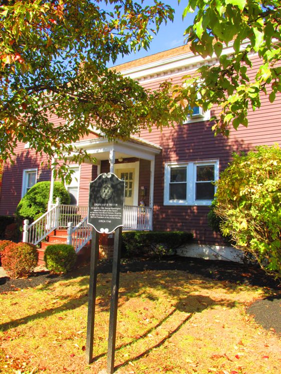
On his inaugural tour from Monticello to New York City, George Washington lodged at the Cross Keys Tavern in Woodbridge (shown at the bottom of map 12) on April 22, 1789.