New Jersey Counties: First Wall Maps and Atlases
Ocean County
| County Data | |
| Founded: 1850, from Monmouth County |

|
| Total Area: 915 square miles; the state's largest county | |
| Population: 11,176 (1860); 576,567 (2010) | |
| County Seat: Toms River | |
| Largest City: Lakewood Township |
1872: County Wall Map
![F. W. Beers. "Topographical Map of Ocean County New Jersey, from Recent and Actual Surveys" (New York: Beers, Comstock & Cline, 1872) [Library of Congress]. Wall map, with added color, 179 × 129 cm. Scale: 200 rods to 1 inch. (No county atlas was published; see the "New Jersey Coast" section for more coverage of the county's shore communities.)](https://libimages.princeton.edu/loris2/exhibits%2Fnj-historic-maps%2Focean%2F1872-ocean-county-wall-map.jp2/full/!750,750/0/default.jpg)
First wall map of Ocean County. Included around the sides are additional plans for seventeen towns and villages (clockwise from the top right, at scales from 24 to 60 rods to 1 inch): Burrsville, Bennetts Mills, Point Pleasant, Cedar Bridge, Bayville, Cedar Creek, Forked River, Manahawken (Manahawkin), Bricksburg (350 feet to 1 inch), Barnegat, Waretown, Manchester (400 feet to 1 inch), Toms River, New Egypt, West Creek, New Prospect, and Goshen. Tables of 1870 census figures for the state and nation are provided in the top left corner of the sheet, as well as township totals of Atlantic and Ocean Counties for white and "colored" residents. (After Cape May, Ocean County is the least populated county in the state; its townships average only 1,500 residents each.) There is also a table at the top center showing "air-line" distances in the county. Business notices for some of the communities crowd the empty spaces around the map. Almost hidden at the far left center is a small table of cranberry statistics for 1871, confirming New Jersey's top national status and Ocean County as New Jersey's primary source of production. In fact, a number of cranberry bogs are noted throughout the map.
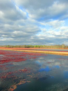
1868: The culture of the cranberry, it is believed, will yet become one of the most important branches of the small fruit culture in Central New Jersey. The situation of the lands, its soil, &c., is admirably fitted for this purpose. The extent of the sea coast; the low swamp lands bordering on the streams flowing into the Atlantic; and the numerous winter ponds or "slushes" found in the interior, (which have been considered as worthless and incapable of cultivation) are, it is believed, destined to become the most valuable lands in the State.1
![Title page of Cheap Land [General Library Collection]. "The change that has come over this country is due to the discovery of the fertilizing effects of Squankum marl," a natural sea deposit that blankets New Jersey's coastal regions [p. 6]. "The deposit is inexhaustible . . ." [p. 41]. According to the pamphlet, more than one hundred thousand acres of "wilderness" were available.](https://libimages.princeton.edu/loris2/exhibits%2Fnj-historic-maps%2Focean%2F1866-cheap-land-title-page.jp2/full/!320,320/0/default.jpg)
Bordered in bright red, the eight townships—Brick, Dover, Jackson, Lacey, Manchester, Plumsted, Stafford, Union—alternate in blue, pink, or yellow. The names of the larger communities are printed in bold capitals. Across the northern townships, "Bricksburg Land & Improvement Co.s Land" (chartered in 1866) and "Manchester Land Co.s Property" (1866) label wide swaths of territory. In 1866, Manchester Land Company's Cheap Land: Homes for the Homeless; The Wild Lands of New Jersey had appeared, soliciting buyers, especially "farmers, market-gardeners, small-fruit growers," from New York City and Philadelphia.
Similarly, in the far south of the county, the Stafford Land Company (1872) was bringing prospective residents by train to Manahawkin so that they could participate in its land auctions. Elsewhere, roads and railroads are shown sprouting, spurring rapid development after the Civil War. Note the Stafford Beach Railroad connecting to Long Beach Island, where city avenues are proposed: this is Route 72 today, crossing Manahawken Bay to Ship Bottom, "Gateway to Long Beach Island."
1883: Town Map
![1883: Town map. J. H. Whittaker. "Map of Bay Head Ocean County N.J." [Cameron Family Papers, Manuscripts Division]. Lithograph map, with added color, 37 × 24.4 cm. Scale: none given. The map is the verso of printed Bay Head Land Company stationery.](https://libimages.princeton.edu/loris2/exhibits%2Fnj-historic-maps%2Focean%2F1883-bay-head-map.jp2/full/!350,350/0/default.jpg)
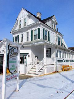
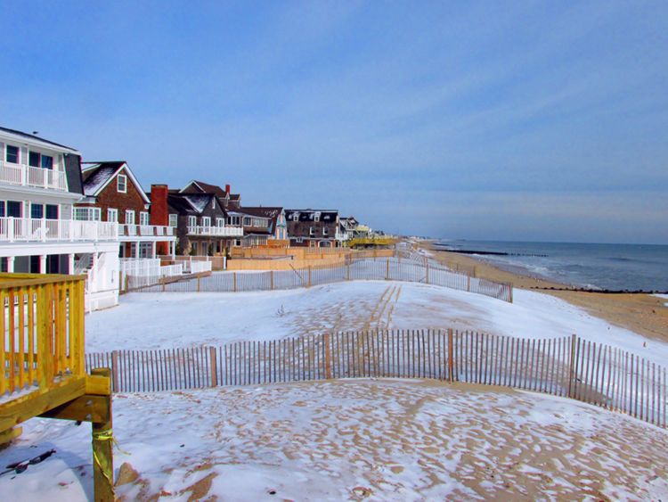
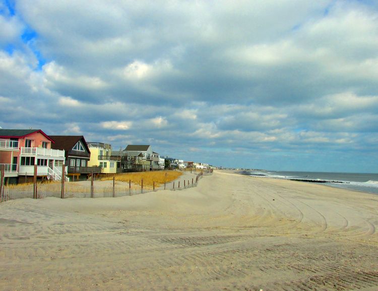
The Bay Head Land Company was incorporated in 1879 to attract wealthy New York and Philadelphia businessmen to Ocean County. Its founding members hailed from central New Jersey: David Mount of Rocky Hill, and two Princeton men, Edward Howe and William Harris. Development was restricted to residential purposes, and guidelines guaranteed comfortable spacing of properties and complimentary landscaping. Wood frame, cedar shingle–clad homes, called Shingle Style, characterized the area. A Queen Anne style house, used as the company real estate office, was the first building constructed (1883) by the Bay Head Land Company, at the corner of Bridge and Lake Avenues, shown at the bottom of Twilight Lake on the map. In 1920, it became Clover Cottage, a luncheonette; now it is the local landmark Dorcas Restaurant.
Life Saving Station No. 10, visible at the bottom of the yellow area near the Atlantic Ocean, was soon replaced with a two-story, Shingle Style building with a five-story square clock tower, designed by Paul J. Pelz, the main architect of the Library of Congress. It no longer exists.
In 1882, the population was 75; in 2010, it had grown to 968. The Bay Head Historic District, comprising one of the largest historic districts in the state, was listed on the National and New Jersey Registers of Historic Places in 2005. Though the area was one of the hardest hit by Hurricane Sandy in 2010, a seawall built in 1882 by the Bay Head Land Company helped to mitigate damage.